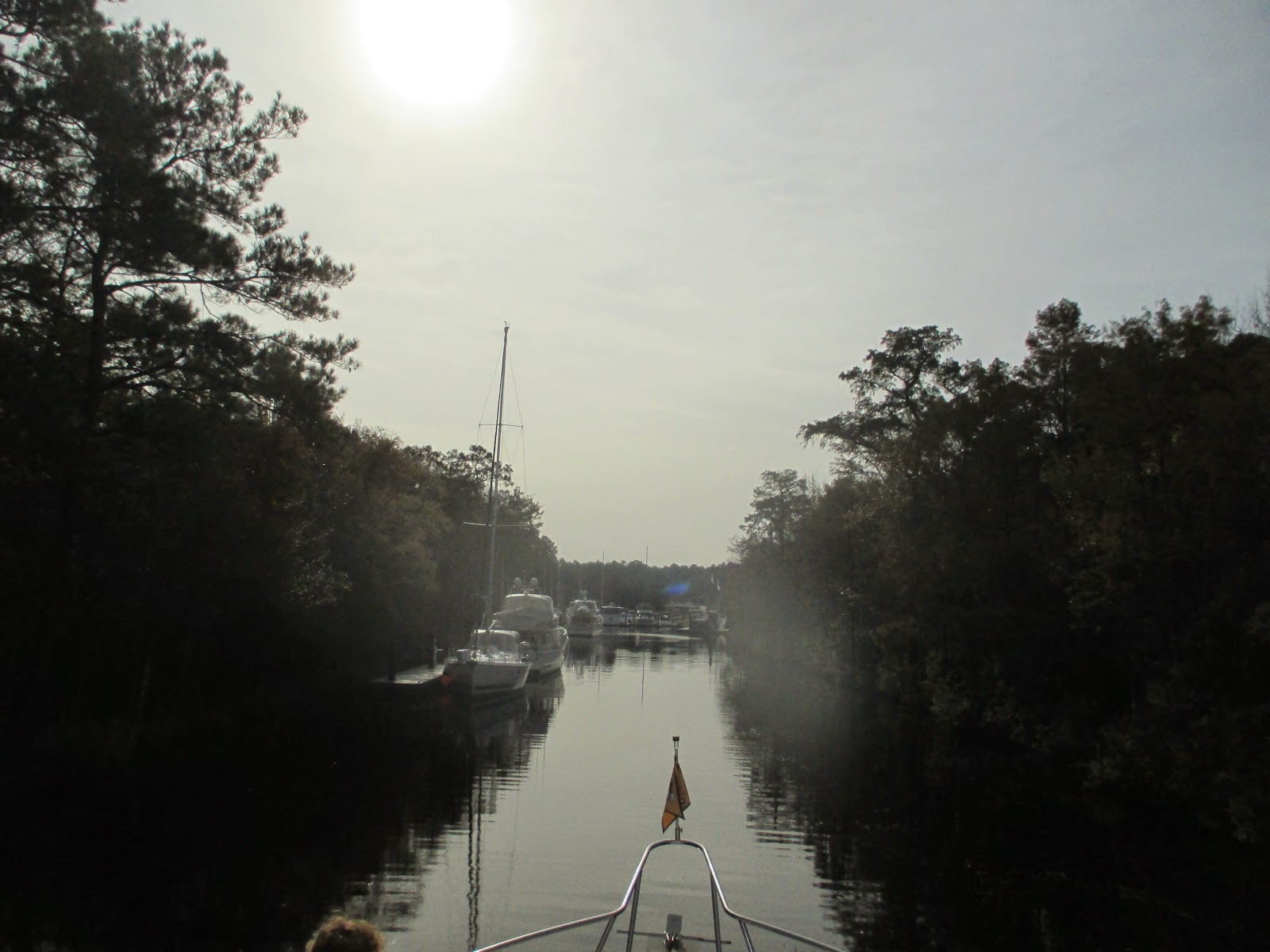
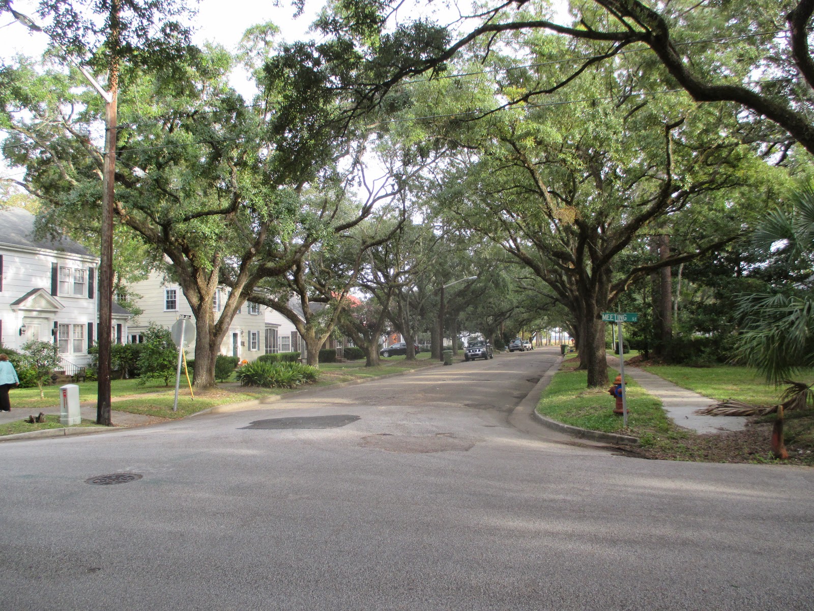
A few other notes about Southport.
Saturday, the planned regatta and party preparations were in full swing. The tents were going up, bar was getting stocked and tables were laid out while the boat crews gathered on the docks for a pre-regatta beer. It was 10am
Then, in the afternoon, the light showers started. Tables were quickly placed in the tents, the bar was covered and the boat crews, decked themselves out in rain gear and gathered in larger groups as the discussion turned from race tactics and partying to talk of not really leaving the dock. I also noticed beer was being displaced with a more potent selection of beverages.
Meanwhile the cats, who had settled themselves in a few warm spots under the porch roof next to me in my rocking chair, watched with amusement (well in my mind anyway) as several bundled up dog owners surged out off the docks with their pets in tow loudly exhorting them to "do your business NOW"! And we all know dogs, when urged to to anything, basically just start smelling the ground.
Once it really began pouring the winds picked up to well over 20mph. One boat left the dock.
All the other boaters congregated in the tent near the bar for the rest of the afternoon. We turned on all the heaters and stayed aboard.
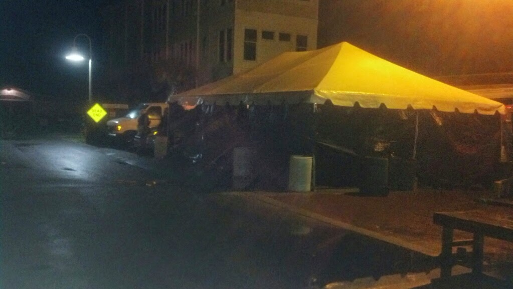 |
| Rocking party tent |
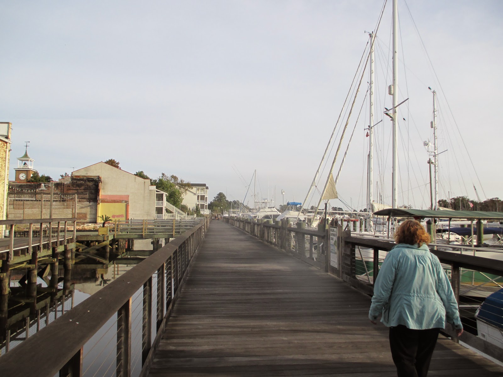
The next day, Sunday, I took an evening walk down by the restaurants where the party was in full swing in a rather small tent with a classic rock band was playing. Loudly too! The tent must have been packed because the plastic tents sides bulged out with what I'm assuming were party goers. I didn't pay the $5 to find out.
Monday when we left Southport, it was clear and cool. Well cold. As I said earlier the starboard engine barley turned over. When I checked later, the temperatures had been hovering around 32 degrees.
We got away from the dock easily enough and made our three 90 degree turns out into the channel and ended up in yet another group of sailboats making their way down the ICW. It was down right chilly but we have a heated fly bridge so it gets toasty warm. The sailboats are, in most cases not so luckily and layered themselves in bulky coats and jackets. Out of sympathy I wore a shirt.
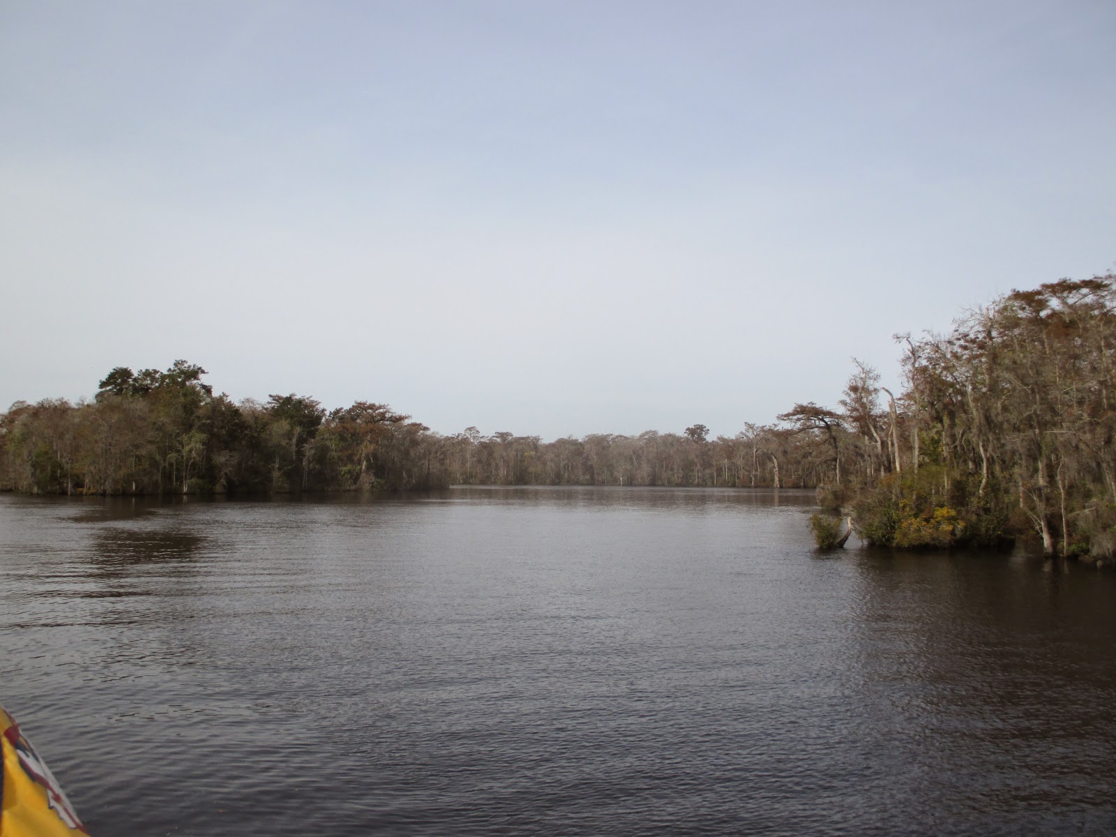
This portion of the ICW runs along the coast and the barrier islands which are narrow and allow an ocean view in some spots. And there are several
inlets including Little River, Shallotte, Tubs (not navigable) and
Lockwood Folly.
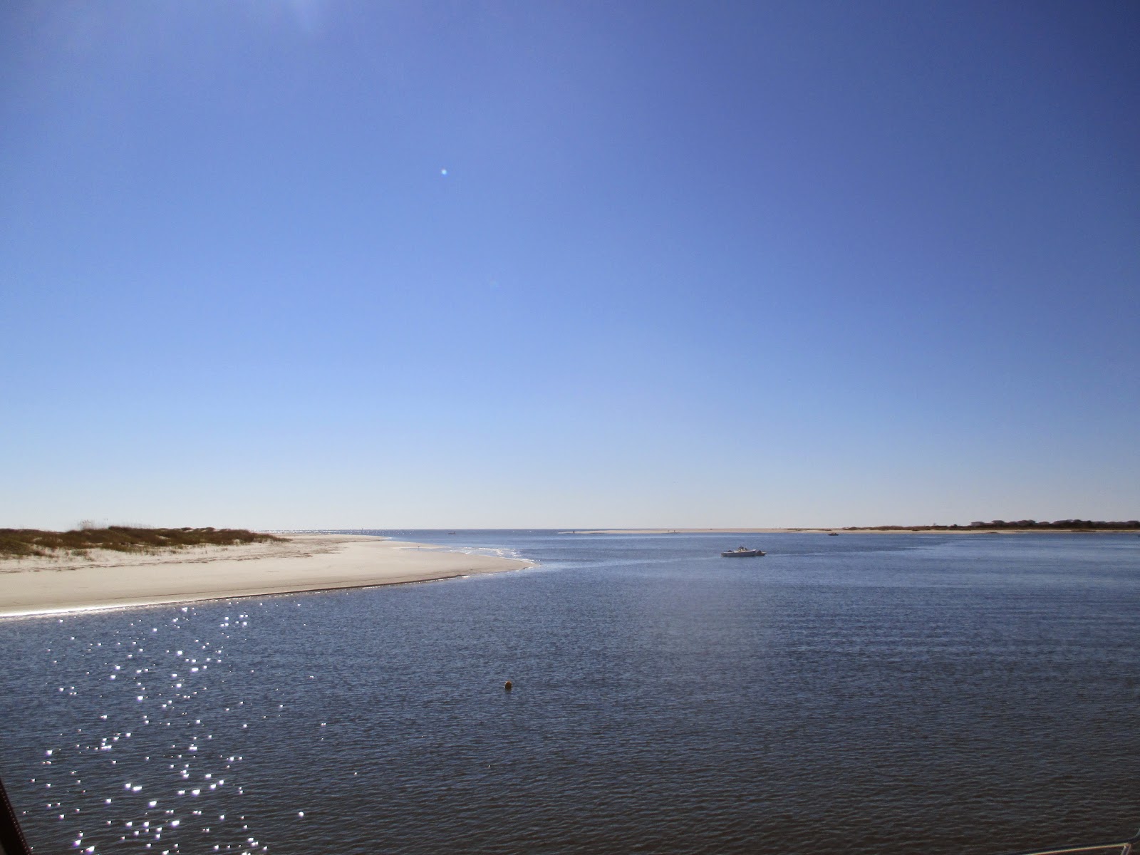 |
| Shallotte Inlet |
As we cruised by the inlets it was exciting to see that shimmering bright blue of ocean contrasted with the white sand ... that is until I glanced at the water temperature readings. 64 degrees! Guess we aren't quite far enough south yet!
We had one bridge to contend with, the Little River Swing Bridge which opens on demand. We went through with a large motor yacht. Its interesting that these bridges which need to open for boat traffic, always ask the boat name and home port as you pass through the bridge. Guess they keep records now.
 |
| Entering the Rock Pile |
Following the bridge is a stretch of the ICW know as the Rock Pile which is about a 4 mile section of channel cut right through solid rock so the shore is rock lined and unforgiving if one were to stray to close to the banks. On section about a mile long is particularly notorious due to its narrow channel.
 |
| The competing Barefoot Landing marina across the river |
A few miles further south and we passed under the Barefoot Landing Bridge to tie up at
Barefoot Landing. The marina,
Barefoot Landing Marina, consists of a very long dock fronting a shopping mall. And in our case one of
Greg Normans Restaurants since we were tied up right in front of it. The outside dinning area was 10 feet from our boat but luckily it was chilly and a weekday so patrons were all inside around the fire place. I know this because I could see them through the windows, and also because we went inside and ate by the fire.
 |
| View from Greg Normans restaurant (our boat) |
Since we arrived mid afternoon I was keen on finding a hardware store nearby which might have a replacement faucet cartridge. And sure enough the Windy Hills Hardware store was about 2 miles away. So Mary and I walked up there only to discover they dont carry the particular cartridge I need. The helpful hardware guy said only Home Depot would have them. No Home Depot within 20 miles, so we walked back to the boat but stopped for ice cream in the Barefoot Landing Shopping complex at
Sweet Mollys Creamery
 |
| Passing by the golf course Greg and I played years ago |
We were first off the docks this morning. Sailboats were following us for a change. As we started to enter the more rural areas of the
Waccamaw River the forested banks took on a rather bland, dejected color not the vibrant fall colors I thought we'd see. Well, it almost winter down here too.
 |
| Entering the very narrow channel to Osprey Marina |
We usually try and stop for fuel at
Osprey Marina on the
Waccamaw River. It's about 20 miles south of Barefoot Landing and at minimum, 50 cents per gallon cheaper than other places. And another mile down river from Osprey is a favorite anchorage of ours, the Oxbow. But on this trip we simply stopped for fuel and headed on down the river to
Georgetown.
 |
| Oxbow Anchorage. Looks much better in the warmer months |
On the way down the river we went bye a Coast Guard barge hauling out a large tree from the main river channel.
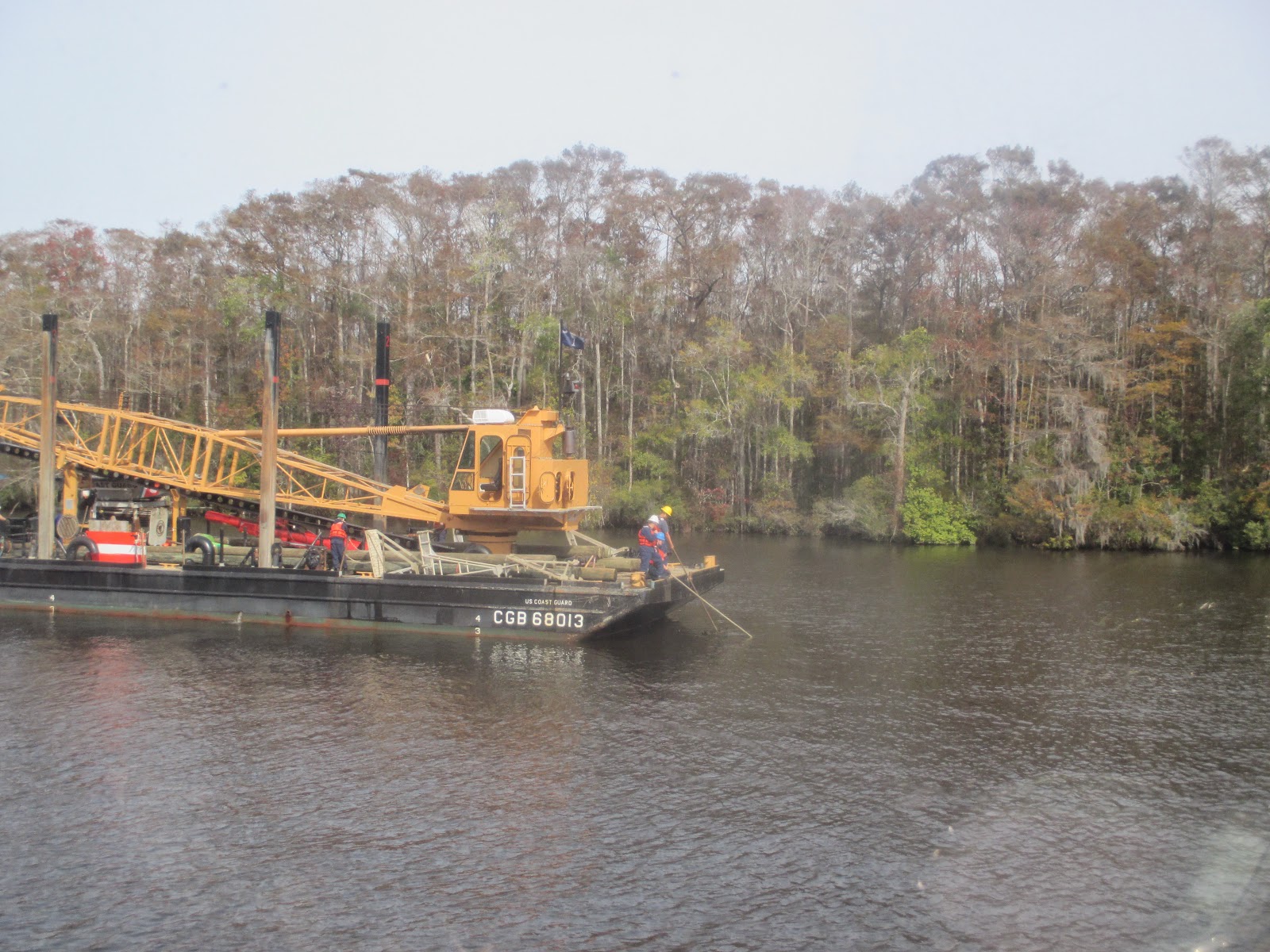 |
| Coast Guard hard at work removing a large tree |
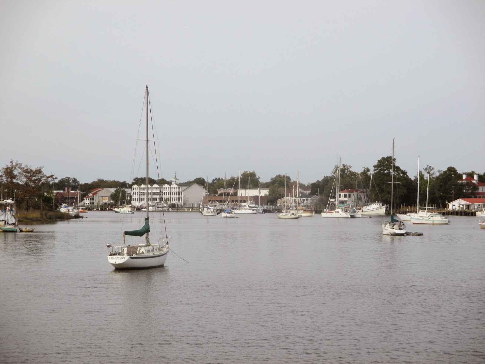
We decided to stop in Georgetown this trip because we've never been to Georgetown before and we had some friends who were staying there. And I began noticing an increase in the port engine temperatures so I wanted to have a mechanic check that out. So we called Hazzard Marina which had an opening. It's the first marina coming into the harbor. And its only 3 blocks from all the neat sights in downtown Georgetown.
 |
| Entering Georgetown harbor |
Georgetown is located on Winyah Bay at the confluence of the
Black,
Great Pee Dee,
Waccamaw and
Sampit River. It is known as a rather busy seaport but we only saw shrimp boats going in and out while we were there. The harbor is actually on the
Sampit River and is crowded with moored and anchored boats.
We stayed at
Hazzard Marine. Nice folks, Reed and Susan. And Jasper who did some work on our port engine. Its not fancy but it's really a boat yard with a few spots for transients like us.
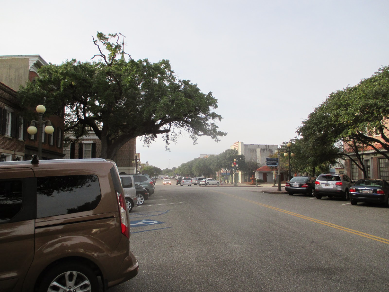
The marina is just a short walk to downtown through these tree covered streets. Its almost like walking in a tunnel the canopy is so thick. And like many homes in Southport, some of the older homes here have placards indicating the original owners name and construction date.
 |
| Georgetown side street |
 |
| Downtown Georgetown |
 |
| Shoppers heaven |
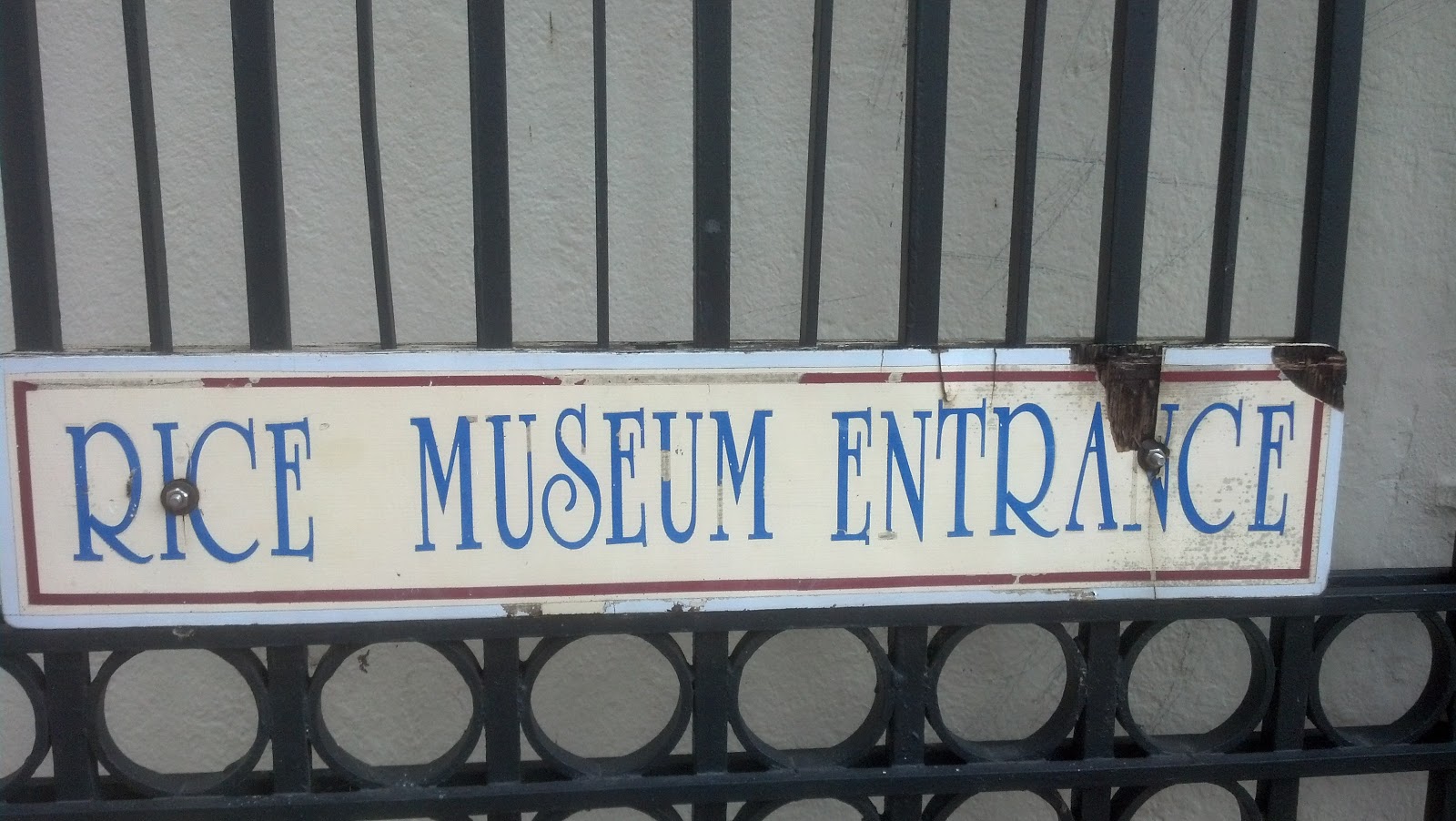 |
| Yes. A museum about rice. |
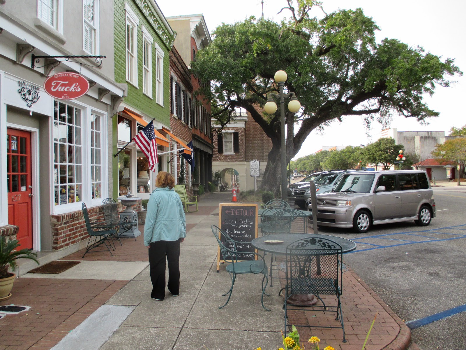
The day after we arrived we went to town and walked along this well done river walk which runs along most of the harbor. We toured the stimulating
Rice Museum and then the less stimulating
Maritime Museum. And of course we stopped for ice cream at a shop whose name escapes me. The ice cream was so-so.
 |
| Harbor Walk. |
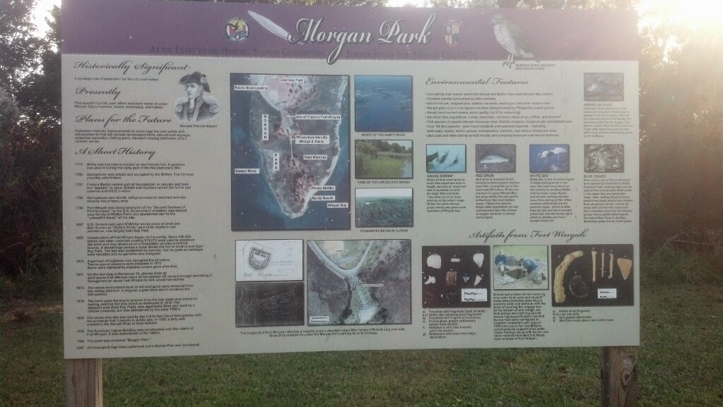 |
| Morgan Park sign board |
Near the marina is
East Bay Park. Its really a large outdoor spots complex consisting of 5 baseball diamonds and a couple of soccer fields and and a large playground. And a boat launch. I usually take a walk at night and this was a particularly nice area to walk through. It runs along the harbor entrance and even has another little park along the shore,
Morgan Park. Morgan Park is on the site of an old fort and sports a tiny beach overlooking
Winyah Bay. But there is a sign warning, No Swimming. Since the water in the 60's I really didn't need the sign.
 |
| Maybe not so delicious but mighty colorful |
I rode my bike to the local Piggly Wiggly a few times. Strange experience. They rejected by Piggly Wiggly card which I've had since we lived in Oconomowoc. And they sell the ever popular red pickled eggs. Who knew.
We met a very young couple with two small children who had their boat up in the boat yard. They were coming into the inlet from the ocean a few days ago with the intent on anchoring where we usually anchor. But he was tired and got a little two close to shore and ran hard aground. It split a seam and did some keel damage but they and the yard have it all fixed up and looking good. They are leaving a few days after us. They are on a 10 month vacation originating in Boston and heading to the BVIs. As I said they are young (early, early 30's) and took sabbaticals from where I never found out.
We found our port engine raw water impeller had lost 2 of its 12 fins so it was replaced along with a soft water return hose that was disintegrating. But in the process we found a fuel leak in the high pressure fuel pump. That could be costly and is something I cant fix myself. So we'll probably stop in
Thunderbolt, Georgia and have it repaired. Its right on the outskirts of
Savannah and since we haven't explored Savannah yet it wont be too bad if it takes a week.
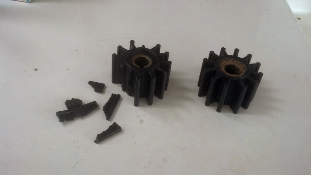 |
| One good impeller. One not so much |
We ate on board tonight (Jennifer's soup, Thanks!) and are going to depart the dock tomorrow morning...ish. We only have 8 miles to the anchorage so we'll try and get under way by noon. That's good for Mary although tomorrow morning we have to be underway before sunrise to make it to the anchorage before nightfall.
We'll anchor in
Winyah Bay tonight before heading out the inlet to the ocean for the 78 mile run to
Charleston Harbor. It will be a pre-dawn start tomorrow too.
We get to cruise right by
Fort Sumter again on our way past
Charleston to the
Stono River and another anchorage we have used in the past. We aren't planning on lingering in Charleston having
spent some time there this past summer.
The ocean is "supposed" to be relatively benign tomorrow so we'll see. It'll give us a chance to make water and get our sea legs back. Will NOAA be right this time??


